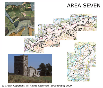
Area 7 Fovant terrace and the area between Chalbury and Woodlands
The Fovant Terrace is located on the greensand Fovant Terrace. The landscape appears flat but slopes away to the north. The landscape is dominated by arable crop production. It is bounded by the vale of Wardour to the north (see Area 9) and the Fovant Chalk escarpment to the south (See Area 8A). The area between Chalbury and Woodlands is located in the south side of the AONB on a flat low area of upper chalk between Chalbury and Woodlands. It is bounded to the west by the Allen Valley. The predominant land use is arable.
 Summary Description
- Areas dominated by grid like regular parliamentary enclosure which has obscured previous land uses.
- Both areas have historic turnpikes at their heart, with the parliamentary fields being spread out either side.
- The Fovant Terrace is associated with the remains of the former military camps stretching between Sutton Mandeville and Fovant and with views of the chalk badges on the escarpment.
- The area between Chalbury and Woodlands is associated with the great Neolithic henge at Knowlton and associated monuments.
The full Historic Landscape Character Area description is available to download from the Historic Environment Action Plan Pages