The History of Land Use in the AONB
 The Cranborne Chase and West Wiltshire Downs Area of Outstanding Natural Beauty is a deeply rural area. Past patterns of historical land use has had a notable impact on the landscape as it appears today
The process of the creation of the modern agricultural land in the AONB has its origins with the Medieval open strip fields, some of which remain fossilised in the landscape today, and through the creation of enclosed piecemeal irregular fields. At the same time new irregular piecemeal fields were created from open land and the assarting of ancient forest became increasingly common.
The first formally arranged and larger scale attempts at enclosure occurred from the 16th century onwards and became politically formalised with the Parliamentary Enclosure Acts of the 18th and 19th centuries.
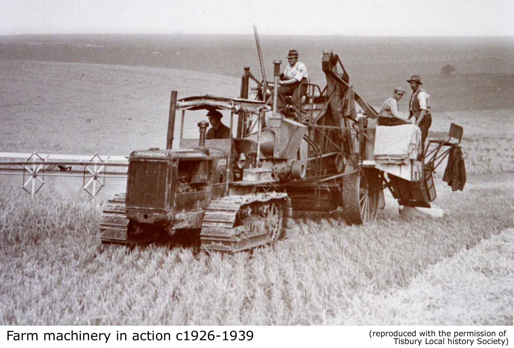
In the 20th century period the enclosure process accelerated with the creation of large prairie fields and the reorganisation of existing field systems. The most recent agricultural data available for the AONB as a whole from 2004 shows that 82%, or 79,725 hectares, of the landscape is comprised of farmland.55% of agricultural land within the AONB was defined as being either under crop or fallow, and 23% of land holdings in the AONB were categorised as farms specialising in cereal production. In 2004 permanent and temporary grassland made up 29% of the AONB. The other major land use in the AONB is woodland, accounting for 14657 hectares or 15% of the AONB.
Download a short introduction to Historical Land Use in the AONB (PDF 838 KB).
This document forms part of the wider AONB Historic Environment Action Plans.